 vesseltracker.com
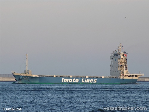
Vessel Mikage IMO: 9815367, MMSI: 431006885 Container Ship
UTC, 34.09698, 133.03964, course: 60, speed: 12.5
UTC, 34.26810, 133.51561, course: 75, speed: 12.6
2026-01-29 14:12:01 UTC, 34.42212, 134.15599, course: 111, speed: 12.3
Live AIS position:
UTC. Near AJICHO),
updated 2026-01-29 14:12:01 UTC.
Find the position of the vessel Mikage on the map. The latter are known coordinates and path.
marine traffic ship tracker show on live map
The current position of vessel Mikage is 34.42212 lat / 134.15599 lng. Updated: 2026-01-29 14:12:01 UTCCurrently sailing under the flag of Japan
Details:
Last coordinates of the vessel:
UTC, 34.11138, 132.73566, course: 68, speed: 12.9UTC, 34.09698, 133.03964, course: 60, speed: 12.5
UTC, 34.26810, 133.51561, course: 75, speed: 12.6
2026-01-29 14:12:01 UTC, 34.42212, 134.15599, course: 111, speed: 12.3