 vesseltracker.com
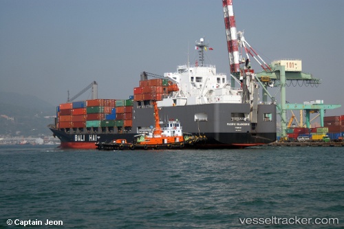
Vessel Pacific Islander 2 IMO: 9255921, MMSI: 431011000 General Cargo Ship
UTC, 34.42865, 129.84979, course: 294, speed: 0.4
UTC, 34.43723, 129.85828, course: 296, speed: 0.4
2026-02-23 10:30:55 UTC, 34.43268, 129.87515, course: 228, speed: 0.4
Live AIS position:
UTC. 24 nm SE of HITAKATSU),
updated 2026-02-23 10:30:55 UTC.
Find the position of the vessel Pacific Islander 2 on the map. The latter are known coordinates and path.
marine traffic ship tracker show on live map
The current position of vessel Pacific Islander 2 is 34.43268 lat / 129.87515 lng. Updated: 2026-02-23 10:30:55 UTCCurrently sailing under the flag of Japan
Pacific Islander 2 built in 2003 year
Deadweight:
17916 tDetails:
Last coordinates of the vessel:
UTC, 34.41404, 129.83371, course: 283, speed: 0.6UTC, 34.42865, 129.84979, course: 294, speed: 0.4
UTC, 34.43723, 129.85828, course: 296, speed: 0.4
2026-02-23 10:30:55 UTC, 34.43268, 129.87515, course: 228, speed: 0.4