 vesseltracker.com
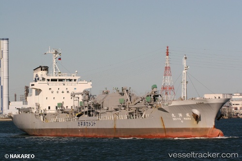
Vessel 431017244 IMO: 9169445, MMSI: 431017244
UTC, 41.78909, 140.68408, course: 124, speed: 0.2
UTC, 41.80588, 140.64868, course: 316, speed: 0.1
2026-01-28 11:31:06 UTC, 41.80586, 140.64870, course: 314, speed: 0
Live AIS position:
UTC. Near Hokuto Hokkaido),
updated 2026-01-28 11:31:06 UTC.
Find the position of the vessel 431017244 on the map. The latter are known coordinates and path.
marine traffic ship tracker show on live map
The current position of vessel 431017244 is 41.80586 lat / 140.64870 lng. Updated: 2026-01-28 11:31:06 UTCDetails:
Last coordinates of the vessel:
UTC, 41.78842, 140.68639, course: 286, speed: 0UTC, 41.78909, 140.68408, course: 124, speed: 0.2
UTC, 41.80588, 140.64868, course: 316, speed: 0.1
2026-01-28 11:31:06 UTC, 41.80586, 140.64870, course: 314, speed: 0