 vesseltracker.com
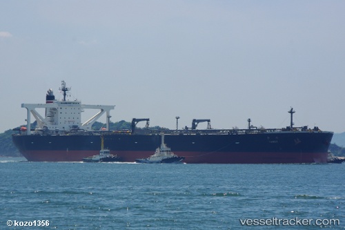
Vessel Tango IMO: 9454486, MMSI: 431057000 Crude Oil Tanker
UTC, 30.93288, 133.22688, course: 59, speed: 11.2
UTC, 31.05125, 133.45982, course: 55, speed: 11.9
2026-02-21 21:33:19 UTC, 31.28092, 133.89998, course: 58, speed: 11.5
Live AIS position:
UTC. 115 nm SE of Sukumowan),
updated 2026-02-21 21:33:19 UTC.
Find the position of the vessel Tango on the map. The latter are known coordinates and path.
marine traffic ship tracker show on live map
The current position of vessel Tango is 31.28092 lat / 133.89998 lng. Updated: 2026-02-21 21:33:19 UTCCurrently sailing under the flag of Japan
Tango built in 2009 year
Deadweight:
301662 tDetails:
Last coordinates of the vessel:
UTC, 30.74974, 132.85332, course: 63, speed: 10.8UTC, 30.93288, 133.22688, course: 59, speed: 11.2
UTC, 31.05125, 133.45982, course: 55, speed: 11.9
2026-02-21 21:33:19 UTC, 31.28092, 133.89998, course: 58, speed: 11.5