 vesseltracker.com
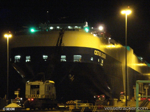
Vessel Cetus Leader IMO: 9291133, MMSI: 431079000 Vehicles Carrier
UTC, 23.04124, -67.16984, course: 165, speed: 12.7
UTC, 22.70470, -67.07860, course: 164, speed: 12.1
2026-02-21 06:25:12 UTC, 22.33809, -66.97568, course: 166, speed: 11.8
Live AIS position:
UTC. 228 nm NE of Bahia De Samana),
updated 2026-02-21 06:25:12 UTC.
Find the position of the vessel Cetus Leader on the map. The latter are known coordinates and path.
marine traffic ship tracker show on live map
The current position of vessel Cetus Leader is 22.33809 lat / -66.97568 lng. Updated: 2026-02-21 06:25:12 UTCDetails:
Last coordinates of the vessel:
UTC, 23.57628, -67.31492, course: 166, speed: 13.1UTC, 23.04124, -67.16984, course: 165, speed: 12.7
UTC, 22.70470, -67.07860, course: 164, speed: 12.1
2026-02-21 06:25:12 UTC, 22.33809, -66.97568, course: 166, speed: 11.8