 vesseltracker.com
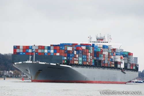
Vessel ONE HONOLULU IMO: 9588079, MMSI: 431472000 Container Ship
UTC, 12.92257, -93.03896, course: 292, speed: 11.7
UTC, 13.10669, -93.43178, course: 294, speed: 11.4
2026-02-25 13:39:11 UTC, 13.22220, -93.67851, course: 292, speed: 16.5
Live AIS position:
UTC. 116 nm SW of PUERTO MADERO),
updated 2026-02-25 13:39:11 UTC.
Find the position of the vessel ONE HONOLULU on the map. The latter are known coordinates and path.
marine traffic ship tracker show on live map
The current position of vessel ONE HONOLULU is 13.22220 lat / -93.67851 lng. Updated: 2026-02-25 13:39:11 UTCCurrently sailing under the flag of Japan
Details:
Last coordinates of the vessel:
UTC, 12.74001, -92.63314, course: 294, speed: 12.2UTC, 12.92257, -93.03896, course: 292, speed: 11.7
UTC, 13.10669, -93.43178, course: 294, speed: 11.4
2026-02-25 13:39:11 UTC, 13.22220, -93.67851, course: 292, speed: 16.5