 vesseltracker.com
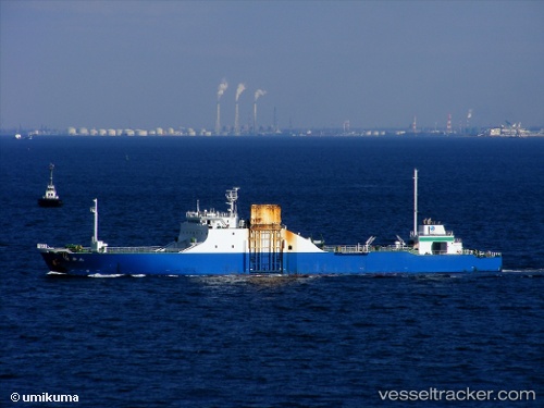
Vessel Rokuryu Maru IMO: 9159397, MMSI: 431500553 Ro Ro Cargo Ship
UTC, 33.80500, 135.07500, course: -1, speed: 16
UTC, 34.33685, 134.43311, course: 294, speed: 15.8
2026-02-03 00:22:18 UTC, 34.37663, 133.80579, course: 259, speed: 14.6
Live AIS position:
UTC. Near Shimotsui),
updated 2026-02-03 00:22:18 UTC.
Find the position of the vessel Rokuryu Maru on the map. The latter are known coordinates and path.
marine traffic ship tracker show on live map
The current position of vessel Rokuryu Maru is 34.37663 lat / 133.80579 lng. Updated: 2026-02-03 00:22:18 UTCDetails:
Last coordinates of the vessel:
UTC, 33.63179, 135.26768, course: 317, speed: 16.9UTC, 33.80500, 135.07500, course: -1, speed: 16
UTC, 34.33685, 134.43311, course: 294, speed: 15.8
2026-02-03 00:22:18 UTC, 34.37663, 133.80579, course: 259, speed: 14.6