 vesseltracker.com
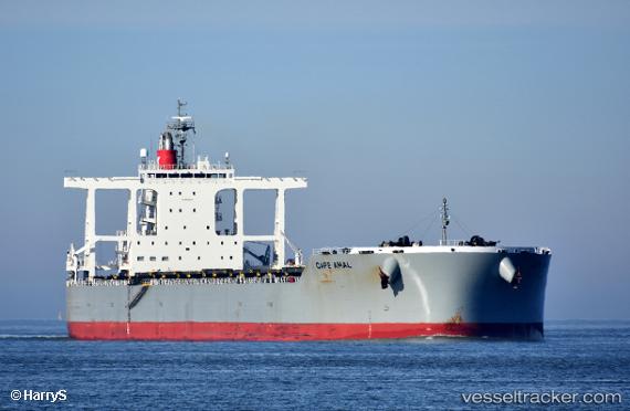
Vessel Cape Amal IMO: 9820879, MMSI: 431936000 Bulk Carrier
UTC, 31.83149, 123.90435, course: 352, speed: 11.4
UTC, 32.43621, 123.85329, course: 1, speed: 11.3
2026-02-11 03:09:17 UTC, 32.60109, 123.85413, course: 0, speed: 11.3
Live AIS position:
UTC. 107 nm SW of Gageohyangri),
updated 2026-02-11 03:09:17 UTC.
Find the position of the vessel Cape Amal on the map. The latter are known coordinates and path.
marine traffic ship tracker show on live map
The current position of vessel Cape Amal is 32.60109 lat / 123.85413 lng. Updated: 2026-02-11 03:09:17 UTCDetails:
Last coordinates of the vessel:
UTC, 31.58080, 123.91735, course: 356, speed: 11.4UTC, 31.83149, 123.90435, course: 352, speed: 11.4
UTC, 32.43621, 123.85329, course: 1, speed: 11.3
2026-02-11 03:09:17 UTC, 32.60109, 123.85413, course: 0, speed: 11.3