 vesseltracker.com
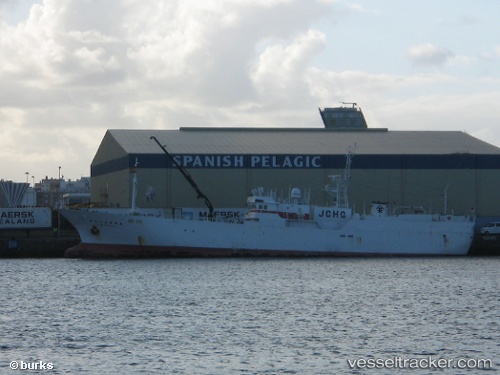
Vessel Ryoan Maru No.85 IMO: 8974661, MMSI: 432319000 Fishing Vessel
UTC, -33.86103, 16.93912, course: 265, speed: 9.5
UTC, -33.88786, 16.52858, course: 263, speed: 8.8
2026-02-28 02:06:09 UTC, -33.91112, 16.12209, course: 263, speed: 9
Live AIS position:
UTC. 101 nm SW of Saldanha Bay),
updated 2026-02-28 02:06:09 UTC.
Find the position of the vessel Ryoan Maru No.85 on the map. The latter are known coordinates and path.
marine traffic ship tracker show on live map
The current position of vessel Ryoan Maru No.85 is -33.91112 lat / 16.12209 lng. Updated: 2026-02-28 02:06:09 UTCDetails:
Last coordinates of the vessel:
UTC, -33.85661, 17.13796, course: 263, speed: 9.7UTC, -33.86103, 16.93912, course: 265, speed: 9.5
UTC, -33.88786, 16.52858, course: 263, speed: 8.8
2026-02-28 02:06:09 UTC, -33.91112, 16.12209, course: 263, speed: 9