 vesseltracker.com
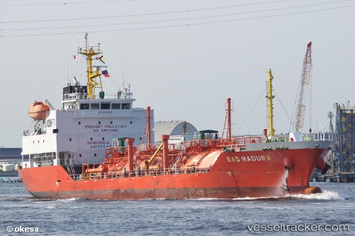
Vessel Shining Road IMO: 9514298, MMSI: 440564000 Lpg Tanker
UTC, 37.01863, 126.41353, course: 291, speed: 0
UTC, 36.98598, 126.26683, course: 228, speed: 10.7
2026-02-23 23:51:12 UTC, 36.69467, 125.90853, course: 187, speed: 12.7
Live AIS position:
UTC. 17 nm W of Taean-gun),
updated 2026-02-23 23:51:12 UTC.
Find the position of the vessel Shining Road on the map. The latter are known coordinates and path.
marine traffic ship tracker show on live map
The current position of vessel Shining Road is 36.69467 lat / 125.90853 lng. Updated: 2026-02-23 23:51:12 UTCCurrently sailing under the flag of Korea
Details:
Last coordinates of the vessel:
UTC, 37.01860, 126.41355, course: 291, speed: 0UTC, 37.01863, 126.41353, course: 291, speed: 0
UTC, 36.98598, 126.26683, course: 228, speed: 10.7
2026-02-23 23:51:12 UTC, 36.69467, 125.90853, course: 187, speed: 12.7