 vesseltracker.com
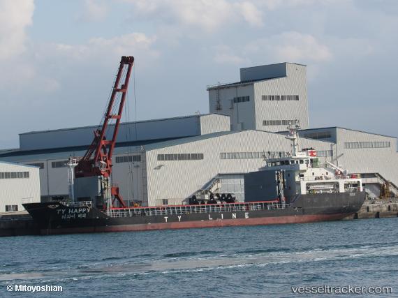
Vessel Ty Happy IMO: 9814636, MMSI: 440601000 General Cargo Ship
UTC, 34.03405, 130.59393, course: 272, speed: 10.3
UTC, 33.89528, 130.27734, course: 235, speed: 10.5
2026-02-16 18:03:51 UTC, 33.70819, 129.93951, course: 240, speed: 11.7
Live AIS position:
UTC. 14 nm N of Tobo),
updated 2026-02-16 18:03:51 UTC.
Find the position of the vessel Ty Happy on the map. The latter are known coordinates and path.
marine traffic ship tracker show on live map
The current position of vessel Ty Happy is 33.70819 lat / 129.93951 lng. Updated: 2026-02-16 18:03:51 UTCDetails:
Last coordinates of the vessel:
UTC, 33.90935, 130.91997, course: 259, speed: 12.3UTC, 34.03405, 130.59393, course: 272, speed: 10.3
UTC, 33.89528, 130.27734, course: 235, speed: 10.5
2026-02-16 18:03:51 UTC, 33.70819, 129.93951, course: 240, speed: 11.7