 vesseltracker.com
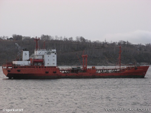
Vessel WOL BONG SAN IMO: 7636638, MMSI: 445093000 Oil Products Tanker
UTC, 38.50569, 124.77950, course: -1, speed: 0.7
2026-02-12 07:26:20 UTC, 38.50569, 124.77950, course: -1, speed: 0.7
Live AIS position:
UTC. 14 nm W of Panjang),
updated 2026-02-12 07:26:20 UTC.
Find the position of the vessel WOL BONG SAN on the map. The latter are known coordinates and path.
marine traffic ship tracker show on live map
The current position of vessel WOL BONG SAN is 38.50569 lat / 124.77950 lng. Updated: 2026-02-12 07:26:20 UTCCurrently sailing under the flag of Korea Democratic Republic
WOL BONG SAN built in 1979 year
Deadweight:
4969 tDetails:
Last coordinates of the vessel:
UTC, 38.50569, 124.77950, course: -1, speed: 0.7UTC, 38.50569, 124.77950, course: -1, speed: 0.7
2026-02-12 07:26:20 UTC, 38.50569, 124.77950, course: -1, speed: 0.7