 vesseltracker.com
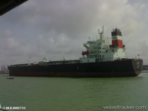
Vessel Al Soor Ii IMO: 9329784, MMSI: 447159000 Oil Products Tanker
UTC, 25.25997, 56.45438, course: 193, speed: 0
UTC, 25.25989, 56.45441, course: 192, speed: 0
2026-01-29 03:37:43 UTC, 25.25999, 56.45463, course: 196, speed: 0
Live AIS position:
UTC. Near Fujairah),
updated 2026-01-29 03:37:43 UTC.
Find the position of the vessel Al Soor Ii on the map. The latter are known coordinates and path.
marine traffic ship tracker show on live map
The current position of vessel Al Soor Ii is 25.25999 lat / 56.45463 lng. Updated: 2026-01-29 03:37:43 UTCCurrently sailing under the flag of Kuwait
Al Soor Ii built in 2007 year
Deadweight:
69836 tDetails:
Last coordinates of the vessel:
UTC, 25.26000, 56.45400, course: 178, speed: 0.1UTC, 25.25997, 56.45438, course: 193, speed: 0
UTC, 25.25989, 56.45441, course: 192, speed: 0
2026-01-29 03:37:43 UTC, 25.25999, 56.45463, course: 196, speed: 0