 vesseltracker.com
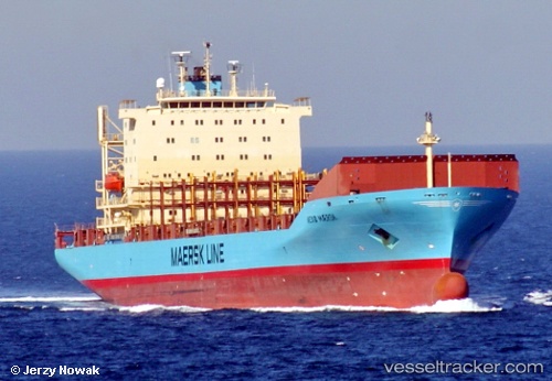
Vessel '477642400' IMO: 9220885, MMSI: 477642400
UTC, 13.13223, 110.68755, course: 36, speed: 12.9
UTC, 13.61656, 111.05378, course: 38, speed: 12.8
2026-02-14 11:44:55 UTC, 13.87577, 111.25278, course: 38, speed: 12.6
Live AIS position:
UTC. 83 nm E of Tan Cang Qui Nhon),
updated 2026-02-14 11:44:55 UTC.
Find the position of the vessel '477642400' on the map. The latter are known coordinates and path.
marine traffic ship tracker show on live map
The current position of vessel '477642400' is 13.87577 lat / 111.25278 lng. Updated: 2026-02-14 11:44:55 UTCDetails:
Last coordinates of the vessel:
UTC, 13.13223, 110.68755, course: 36, speed: 12.9UTC, 13.13223, 110.68755, course: 36, speed: 12.9
UTC, 13.61656, 111.05378, course: 38, speed: 12.8
2026-02-14 11:44:55 UTC, 13.87577, 111.25278, course: 38, speed: 12.6