 vesseltracker.com
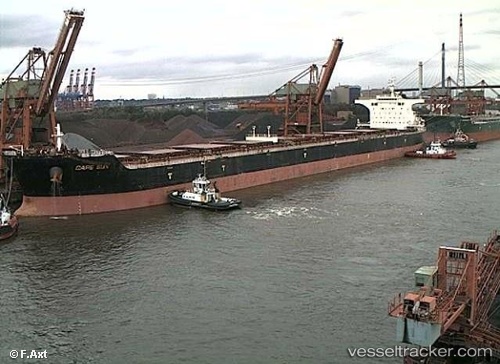
Vessel Cape Sun IMO: 9546899, MMSI: 477691700 Bulk Carrier
UTC, 38.82012, 118.22799, course: 271, speed: 0
UTC, 38.82023, 118.22804, course: 271, speed: 0
2026-02-03 16:38:37 UTC, 38.87450, 118.19455, course: 311, speed: 9
Live AIS position:
UTC. Near Taku Bar),
updated 2026-02-03 16:38:37 UTC.
Find the position of the vessel Cape Sun on the map. The latter are known coordinates and path.
marine traffic ship tracker show on live map
The current position of vessel Cape Sun is 38.87450 lat / 118.19455 lng. Updated: 2026-02-03 16:38:37 UTCDetails:
Last coordinates of the vessel:
UTC, 38.82033, 118.22804, course: 267, speed: 0UTC, 38.82012, 118.22799, course: 271, speed: 0
UTC, 38.82023, 118.22804, course: 271, speed: 0
2026-02-03 16:38:37 UTC, 38.87450, 118.19455, course: 311, speed: 9