 vesseltracker.com
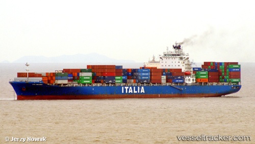
Vessel NEWNEW PANDA 1 IMO: 9315965, MMSI: 477909800 Container Ship
UTC, 16.52608, 113.45104, course: 195, speed: 10.8
UTC, 16.16376, 113.41053, course: 191, speed: 11
2026-02-23 22:32:22 UTC, 15.61910, 113.18248, course: 209, speed: 10.8
Live AIS position:
UTC. 224 nm NE of Tan Cang Qui Nhon),
updated 2026-02-23 22:32:22 UTC.
Find the position of the vessel NEWNEW PANDA 1 on the map. The latter are known coordinates and path.
marine traffic ship tracker show on live map
The current position of vessel NEWNEW PANDA 1 is 15.61910 lat / 113.18248 lng. Updated: 2026-02-23 22:32:22 UTCCurrently sailing under the flag of Hong Kong
Details:
Last coordinates of the vessel:
UTC, 16.90730, 113.45971, course: 181, speed: 10.7UTC, 16.52608, 113.45104, course: 195, speed: 10.8
UTC, 16.16376, 113.41053, course: 191, speed: 11
2026-02-23 22:32:22 UTC, 15.61910, 113.18248, course: 209, speed: 10.8