 vesseltracker.com
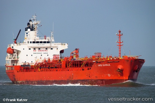
Vessel DING HENG 45 IMO: 9330795, MMSI: 477966600 Oil/Chemical Tanker
UTC, 1.19299, 103.69357, course: 359, speed: 0
UTC, 1.19423, 103.69222, course: 75, speed: 0.1
2026-03-02 19:32:46 UTC, 1.19512, 103.69226, course: 96, speed: 0.1
Live AIS position:
UTC. Near JURONG ISLAND),
updated 2026-03-02 19:32:46 UTC.
Find the position of the vessel DING HENG 45 on the map. The latter are known coordinates and path.
marine traffic ship tracker show on live map
The current position of vessel DING HENG 45 is 1.19512 lat / 103.69226 lng. Updated: 2026-03-02 19:32:46 UTCCurrently sailing under the flag of Hong Kong
Details:
Last coordinates of the vessel:
UTC, 1.19328, 103.69410, course: -1, speed: 0.1UTC, 1.19299, 103.69357, course: 359, speed: 0
UTC, 1.19423, 103.69222, course: 75, speed: 0.1
2026-03-02 19:32:46 UTC, 1.19512, 103.69226, course: 96, speed: 0.1