 vesseltracker.com
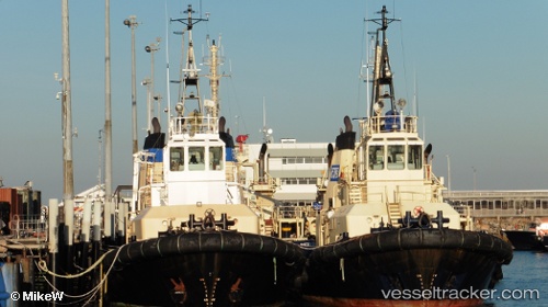
Vessel Wilga IMO: 9018921, MMSI: 503528000 Tug
UTC, -41.18501, 146.36276, course: 345, speed: 0
UTC, -41.18502, 146.36275, course: 345, speed: 0
2026-02-15 07:45:22 UTC, -41.18500, 146.36166, course: -1, speed: 0
Live AIS position:
UTC. Near East Devonport),
updated 2026-02-15 07:45:22 UTC.
Find the position of the vessel Wilga on the map. The latter are known coordinates and path.
marine traffic ship tracker show on live map
The current position of vessel Wilga is -41.18500 lat / 146.36166 lng. Updated: 2026-02-15 07:45:22 UTCDetails:
Last coordinates of the vessel:
UTC, -41.18500, 146.36166, course: -1, speed: 0UTC, -41.18501, 146.36276, course: 345, speed: 0
UTC, -41.18502, 146.36275, course: 345, speed: 0
2026-02-15 07:45:22 UTC, -41.18500, 146.36166, course: -1, speed: 0