 vesseltracker.com
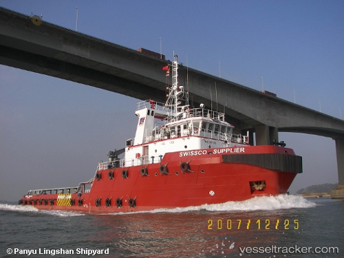
Vessel OCEAN HURRICANE IMO: 9397078, MMSI: 511100403 Offshore Tug/Supply Ship
Live AIS position:
UTC. Near SIR BANIYAS),
updated 2026-01-16 03:44:05 UTC.
Find the position of the vessel OCEAN HURRICANE on the map. The latter are known coordinates and path.
marine traffic ship tracker show on live map
The current position of vessel OCEAN HURRICANE is 24.26628 lat / 52.63713 lng. Updated: 2026-01-16 03:44:05 UTCCurrently sailing under the flag of Palau (Republic of)
OCEAN HURRICANE built in 2007 year
Deadweight:
1102 tDetails:
Last coordinates of the vessel:
2026-01-16 03:44:05 UTC, 24.26628, 52.63713, course: -1, speed: 0.4