 vesseltracker.com
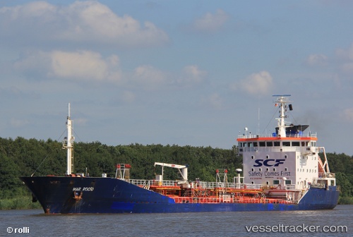
Vessel ARRIBA IMO: 9200146, MMSI: 511101064 Oil/Chemical Tanker
UTC, 22.77861, 69.94850, course: 77, speed: 0
UTC, 22.78025, 69.95039, course: 218, speed: 0.1
2026-02-25 09:43:45 UTC, 22.78002, 69.95063, course: 238, speed: 0
Live AIS position:
UTC. 13 nm E of Mundra Port SEZ),
updated 2026-02-25 09:43:45 UTC.
Find the position of the vessel ARRIBA on the map. The latter are known coordinates and path.
marine traffic ship tracker show on live map
The current position of vessel ARRIBA is 22.78002 lat / 69.95063 lng. Updated: 2026-02-25 09:43:45 UTCCurrently sailing under the flag of Palau
Details:
Last coordinates of the vessel:
UTC, 22.77846, 69.94841, course: 63, speed: 0UTC, 22.77861, 69.94850, course: 77, speed: 0
UTC, 22.78025, 69.95039, course: 218, speed: 0.1
2026-02-25 09:43:45 UTC, 22.78002, 69.95063, course: 238, speed: 0