 vesseltracker.com
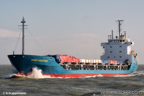
Vessel INDIANA JONES I IMO: 8806149, MMSI: 511101390 General Cargo
UTC, 45.47117, 12.24522, course: 308, speed: 0
UTC, 45.47119, 12.24525, course: 308, speed: 0
2026-02-22 19:34:32 UTC, 45.47116, 12.24522, course: 308, speed: 0
Live AIS position:
UTC. Near Mestre),
updated 2026-02-22 19:34:32 UTC.
Find the position of the vessel INDIANA JONES I on the map. The latter are known coordinates and path.
marine traffic ship tracker show on live map
The current position of vessel INDIANA JONES I is 45.47116 lat / 12.24522 lng. Updated: 2026-02-22 19:34:32 UTCCurrently sailing under the flag of Palau
Details:
Last coordinates of the vessel:
UTC, 45.47115, 12.24530, course: 308, speed: 0UTC, 45.47117, 12.24522, course: 308, speed: 0
UTC, 45.47119, 12.24525, course: 308, speed: 0
2026-02-22 19:34:32 UTC, 45.47116, 12.24522, course: 308, speed: 0