 vesseltracker.com
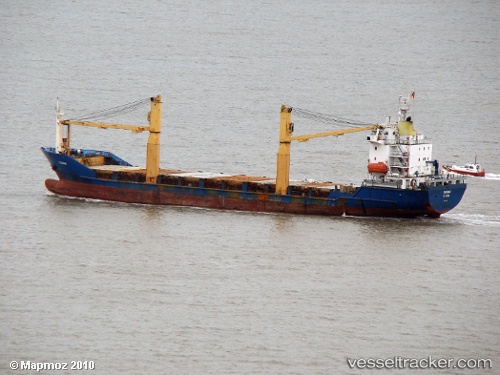
Vessel THE EMERALD IMO: 9064695, MMSI: 511101559 General Cargo
UTC, -6.78112, 39.30835, course: -1, speed: 0.1
UTC, -6.78085, 39.30655, course: -1, speed: 0
2026-02-24 09:54:46 UTC, -6.78109, 39.30667, course: -1, speed: 0.2
Live AIS position:
UTC. Near Dar es Salaam),
updated 2026-02-24 09:54:46 UTC.
Find the position of the vessel THE EMERALD on the map. The latter are known coordinates and path.
marine traffic ship tracker show on live map
The current position of vessel THE EMERALD is -6.78109 lat / 39.30667 lng. Updated: 2026-02-24 09:54:46 UTCCurrently sailing under the flag of Palau
Details:
Last coordinates of the vessel:
UTC, -6.78094, 39.30855, course: -1, speed: 0.1UTC, -6.78112, 39.30835, course: -1, speed: 0.1
UTC, -6.78085, 39.30655, course: -1, speed: 0
2026-02-24 09:54:46 UTC, -6.78109, 39.30667, course: -1, speed: 0.2