 vesseltracker.com
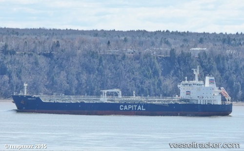
Vessel DOLUNAY IMO: 9327463, MMSI: 511101602 Oil/Chemical Tanker
UTC, 59.80143, 28.40872, course: 220, speed: 0.1
UTC, 60.04844, 28.53681, course: 265, speed: 6.8
2026-02-27 13:53:37 UTC, 60.14178, 28.07727, course: 286, speed: 10.5
Live AIS position:
UTC. 20 nm SW of Primorsk),
updated 2026-02-27 13:53:37 UTC.
Find the position of the vessel DOLUNAY on the map. The latter are known coordinates and path.
marine traffic ship tracker show on live map
The current position of vessel DOLUNAY is 60.14178 lat / 28.07727 lng. Updated: 2026-02-27 13:53:37 UTCCurrently sailing under the flag of Palau
Details:
Last coordinates of the vessel:
UTC, 59.80148, 28.40879, course: 221, speed: 0UTC, 59.80143, 28.40872, course: 220, speed: 0.1
UTC, 60.04844, 28.53681, course: 265, speed: 6.8
2026-02-27 13:53:37 UTC, 60.14178, 28.07727, course: 286, speed: 10.5