 vesseltracker.com
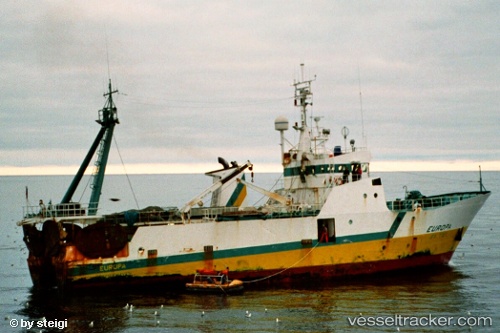
Vessel Seamount Explorer IMO: 8614211, MMSI: 512000030 Fishing Vessel
Live AIS position:
UTC. 85 nm NE of Telkwa),
updated 2025-02-26 05:06:26 UTC.
Find the position of the vessel Seamount Explorer on the map. The latter are known coordinates and path.
marine traffic ship tracker show on live map
The current position of vessel Seamount Explorer is 55.90729 lat / -125.82756 lng. Updated: 2025-02-26 05:06:26 UTCDetails:
Last coordinates of the vessel:
2025-02-26 05:06:26 UTC, 55.90729, -125.82756, course: 306, speed: 2.8