 vesseltracker.com
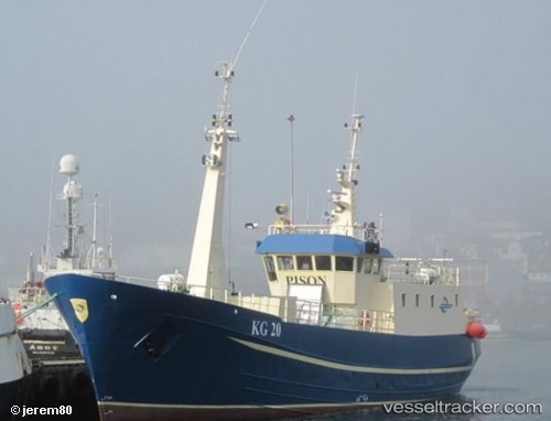
Vessel Tugvusteinur IMO: 5156086, MMSI: 231220000 Fishing Vessel
UTC, 63.12207, -9.58899, course: -1, speed: 2.8
UTC, 63.13248, -9.58263, course: -1, speed: 0.6
2026-02-10 06:08:55 UTC, 63.13540, -9.58184, course: -1, speed: 0.7
Live AIS position:
UTC. 85 nm NW of Eidi),
updated 2026-02-10 06:08:55 UTC.
Find the position of the vessel Tugvusteinur on the map. The latter are known coordinates and path.
marine traffic ship tracker show on live map
The current position of vessel Tugvusteinur is 63.13540 lat / -9.58184 lng. Updated: 2026-02-10 06:08:55 UTCDetails:
Last coordinates of the vessel:
UTC, 63.12547, -9.59375, course: -1, speed: 1.6UTC, 63.12207, -9.58899, course: -1, speed: 2.8
UTC, 63.13248, -9.58263, course: -1, speed: 0.6
2026-02-10 06:08:55 UTC, 63.13540, -9.58184, course: -1, speed: 0.7