 vesseltracker.com
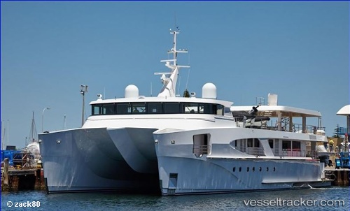
Vessel Charley IMO: 9812078, MMSI: 518100223 Sailing Vessel
UTC, 1.29500, 103.75833, course: -1, speed: 0
UTC, 1.29501, 103.75990, course: 301, speed: 0
2026-01-29 19:32:02 UTC, 1.29503, 103.75990, course: 302, speed: 0
Live AIS position:
UTC. Near PASIR PANJANG Terminal),
updated 2026-01-29 19:32:02 UTC.
Find the position of the vessel Charley on the map. The latter are known coordinates and path.
marine traffic ship tracker show on live map
The current position of vessel Charley is 1.29503 lat / 103.75990 lng. Updated: 2026-01-29 19:32:02 UTCDetails:
Last coordinates of the vessel:
UTC, 1.29503, 103.75991, course: 301, speed: 0UTC, 1.29500, 103.75833, course: -1, speed: 0
UTC, 1.29501, 103.75990, course: 301, speed: 0
2026-01-29 19:32:02 UTC, 1.29503, 103.75990, course: 302, speed: 0