 vesseltracker.com
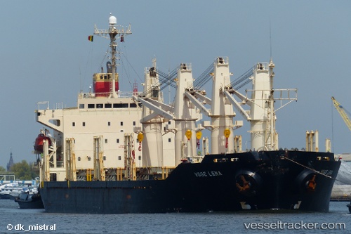
Vessel Angelos IMO: 9175913, MMSI: 518100232 Bulk Carrier
2026-02-04 10:11:39 UTC, 1.14882, 103.77373, course: 51, speed: 6.5
Live AIS position:
UTC. Near BUKOM ISLAND),
updated 2026-02-04 10:11:39 UTC.
Find the position of the vessel Angelos on the map. The latter are known coordinates and path.
marine traffic ship tracker show on live map
The current position of vessel Angelos is 1.14882 lat / 103.77373 lng. Updated: 2026-02-04 10:11:39 UTCDetails:
Last coordinates of the vessel:
UTC, 1.14882, 103.77373, course: 51, speed: 6.52026-02-04 10:11:39 UTC, 1.14882, 103.77373, course: 51, speed: 6.5