 vesseltracker.com
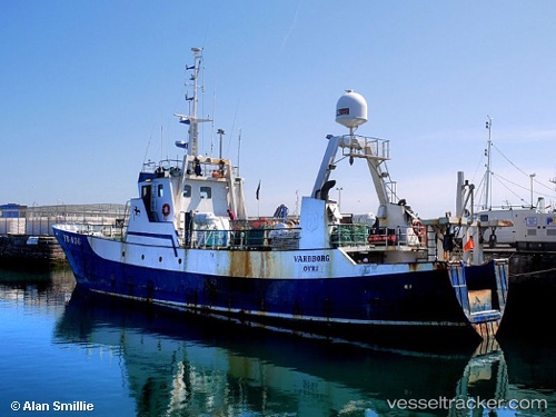
Vessel AKANUI IMO: 5417210, MMSI: 518998288 Fishing Vessel
UTC, -36.69500, -73.09833, course: -1, speed: 0
UTC, -36.69500, -73.09833, course: -1, speed: 0
2026-02-02 20:25:36 UTC, -36.69500, -73.09833, course: -1, speed: 0
Live AIS position:
UTC. Near Talcahuano),
updated 2026-02-02 20:25:36 UTC.
Find the position of the vessel AKANUI on the map. The latter are known coordinates and path.
marine traffic ship tracker show on live map
The current position of vessel AKANUI is -36.69500 lat / -73.09833 lng. Updated: 2026-02-02 20:25:36 UTCCurrently sailing under the flag of Cook islands
AKANUI built in 1963 year
Deadweight:
0 tDetails:
Last coordinates of the vessel:
UTC, -36.69500, -73.09833, course: -1, speed: 0UTC, -36.69500, -73.09833, course: -1, speed: 0
UTC, -36.69500, -73.09833, course: -1, speed: 0
2026-02-02 20:25:36 UTC, -36.69500, -73.09833, course: -1, speed: 0