 vesseltracker.com
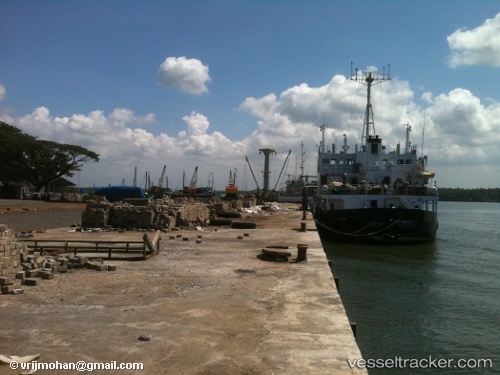
Vessel Margot IMO: 5221934, MMSI: 701006066 Hopper Dredger
UTC, -45.70057, -61.95863, course: -1, speed: 0
UTC, -45.70057, -61.95863, course: -1, speed: 0
2026-03-01 11:44:26 UTC, -45.70057, -61.95863, course: -1, speed: 0
Live AIS position:
UTC. 197 nm SE of Rawson),
updated 2026-03-01 11:44:26 UTC.
Find the position of the vessel Margot on the map. The latter are known coordinates and path.
marine traffic ship tracker show on live map
The current position of vessel Margot is -45.70057 lat / -61.95863 lng. Updated: 2026-03-01 11:44:26 UTCDetails:
Last coordinates of the vessel:
UTC, -45.70057, -61.95863, course: -1, speed: 0UTC, -45.70057, -61.95863, course: -1, speed: 0
UTC, -45.70057, -61.95863, course: -1, speed: 0
2026-03-01 11:44:26 UTC, -45.70057, -61.95863, course: -1, speed: 0