 vesseltracker.com
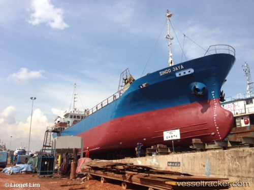
Vessel Sindo Permai IMO: 8626226, MMSI: 525010028 General Cargo Ship
UTC, 1.30431, 97.60980, course: 228, speed: 0
UTC, 1.30431, 97.60980, course: 228, speed: 0
2026-01-29 22:53:57 UTC, 1.30430, 97.60980, course: 92, speed: 0.4
Live AIS position:
UTC. 13 nm N of Pulau Nias),
updated 2026-01-29 22:53:57 UTC.
Find the position of the vessel Sindo Permai on the map. The latter are known coordinates and path.
marine traffic ship tracker show on live map
The current position of vessel Sindo Permai is 1.30430 lat / 97.60980 lng. Updated: 2026-01-29 22:53:57 UTCDetails:
Last coordinates of the vessel:
UTC, 1.30435, 97.60978, course: 228, speed: 0.1UTC, 1.30431, 97.60980, course: 228, speed: 0
UTC, 1.30431, 97.60980, course: 228, speed: 0
2026-01-29 22:53:57 UTC, 1.30430, 97.60980, course: 92, speed: 0.4