 vesseltracker.com
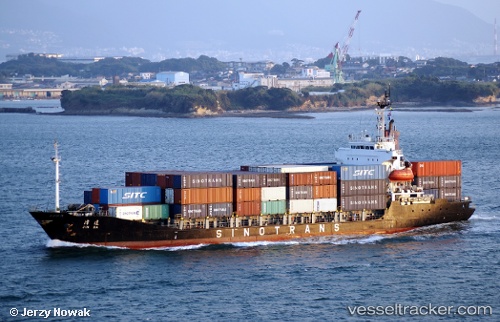
Vessel Tanto Aman IMO: 9085704, MMSI: 525013028 Container Ship
UTC, -7.19407, 112.70688, course: -1, speed: 7.8
UTC, -6.93500, 112.71833, course: -1, speed: 6
2026-02-12 09:22:12 UTC, -6.84833, 112.79167, course: -1, speed: 9
Live AIS position:
UTC. Near Madura Terminal),
updated 2026-02-12 09:22:12 UTC.
Find the position of the vessel Tanto Aman on the map. The latter are known coordinates and path.
marine traffic ship tracker show on live map
The current position of vessel Tanto Aman is -6.84833 lat / 112.79167 lng. Updated: 2026-02-12 09:22:12 UTCDetails:
Last coordinates of the vessel:
UTC, -7.19823, 112.71094, course: -1, speed: 0.1UTC, -7.19407, 112.70688, course: -1, speed: 7.8
UTC, -6.93500, 112.71833, course: -1, speed: 6
2026-02-12 09:22:12 UTC, -6.84833, 112.79167, course: -1, speed: 9