 vesseltracker.com
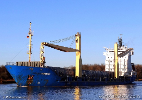
Vessel Tanto Damai IMO: 9138666, MMSI: 525013038 Container Ship
UTC, -5.25333, 118.88167, course: -1, speed: 10
UTC, -5.19667, 119.14500, course: -1, speed: 9
2026-03-02 09:10:21 UTC, -5.13500, 119.31667, course: -1, speed: 9
Live AIS position:
UTC. Near Panakukang),
updated 2026-03-02 09:10:21 UTC.
Find the position of the vessel Tanto Damai on the map. The latter are known coordinates and path.
marine traffic ship tracker show on live map
The current position of vessel Tanto Damai is -5.13500 lat / 119.31667 lng. Updated: 2026-03-02 09:10:21 UTCDetails:
Last coordinates of the vessel:
UTC, -5.34500, 118.44667, course: -1, speed: 10UTC, -5.25333, 118.88167, course: -1, speed: 10
UTC, -5.19667, 119.14500, course: -1, speed: 9
2026-03-02 09:10:21 UTC, -5.13500, 119.31667, course: -1, speed: 9