 vesseltracker.com
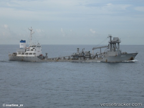
Vessel Mv Armalia IMO: 7812969, MMSI: 525015639 Cement Carrier
UTC, -3.31421, 114.56396, course: -1, speed: 0.1
UTC, -3.31421, 114.56400, course: -1, speed: 0.2
2026-02-21 08:03:57 UTC, -3.31421, 114.56400, course: -1, speed: 0.2
Live AIS position:
UTC. Near BANJARMASIN),
updated 2026-02-21 08:03:57 UTC.
Find the position of the vessel Mv Armalia on the map. The latter are known coordinates and path.
marine traffic ship tracker show on live map
The current position of vessel Mv Armalia is -3.31421 lat / 114.56400 lng. Updated: 2026-02-21 08:03:57 UTCDetails:
Last coordinates of the vessel:
UTC, -3.31421, 114.56397, course: -1, speed: 0.1UTC, -3.31421, 114.56396, course: -1, speed: 0.1
UTC, -3.31421, 114.56400, course: -1, speed: 0.2
2026-02-21 08:03:57 UTC, -3.31421, 114.56400, course: -1, speed: 0.2