 vesseltracker.com
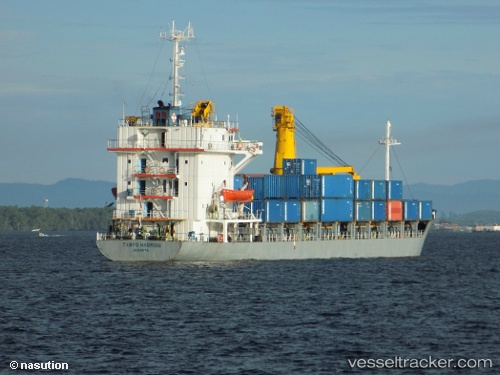
Vessel Mv.tanto Harmoni IMO: 8419491, MMSI: 525016056 General Cargo Ship
UTC, -3.27078, 116.17978, course: -1, speed: 0
UTC, -3.27079, 116.17978, course: -1, speed: 0
2026-02-02 21:50:23 UTC, -3.27080, 116.17978, course: -1, speed: 0
Live AIS position:
UTC. Near Setagin),
updated 2026-02-02 21:50:23 UTC.
Find the position of the vessel Mv.tanto Harmoni on the map. The latter are known coordinates and path.
marine traffic ship tracker show on live map
The current position of vessel Mv.tanto Harmoni is -3.27080 lat / 116.17978 lng. Updated: 2026-02-02 21:50:23 UTCDetails:
Last coordinates of the vessel:
UTC, -3.27017, 116.17990, course: -1, speed: 1.7UTC, -3.27078, 116.17978, course: -1, speed: 0
UTC, -3.27079, 116.17978, course: -1, speed: 0
2026-02-02 21:50:23 UTC, -3.27080, 116.17978, course: -1, speed: 0