 vesseltracker.com
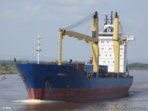
Vessel Meratus Semarang IMO: 9161209, MMSI: 525025104 Multi Purpose Carrier
UTC, -5.66833, 110.02167, course: -1, speed: 12
UTC, -5.66500, 110.28667, course: -1, speed: 12
2026-01-28 14:32:04 UTC, -5.66333, 110.88333, course: -1, speed: 11
Live AIS position:
UTC. 47 nm N of TANJUNG JATI),
updated 2026-01-28 14:32:04 UTC.
Find the position of the vessel Meratus Semarang on the map. The latter are known coordinates and path.
marine traffic ship tracker show on live map
The current position of vessel Meratus Semarang is -5.66333 lat / 110.88333 lng. Updated: 2026-01-28 14:32:04 UTCDetails:
Last coordinates of the vessel:
UTC, -5.66667, 109.40667, course: -1, speed: 12UTC, -5.66833, 110.02167, course: -1, speed: 12
UTC, -5.66500, 110.28667, course: -1, speed: 12
2026-01-28 14:32:04 UTC, -5.66333, 110.88333, course: -1, speed: 11