 vesseltracker.com
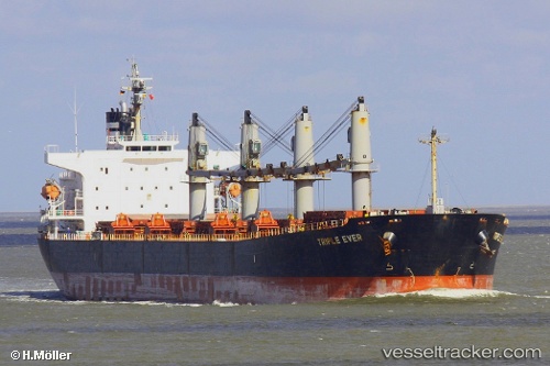
Vessel Manalagi Hita IMO: 9317121, MMSI: 525100079 Bulk Carrier
UTC, -7.75081, 109.12595, course: -1, speed: 12.8
UTC, -7.75081, 109.12595, course: -1, speed: 12.8
2026-02-25 12:41:12 UTC, -8.03112, 109.93326, course: -1, speed: 13.8
Live AIS position:
UTC. 20 nm S of Purworejo),
updated 2026-02-25 12:41:12 UTC.
Find the position of the vessel Manalagi Hita on the map. The latter are known coordinates and path.
marine traffic ship tracker show on live map
The current position of vessel Manalagi Hita is -8.03112 lat / 109.93326 lng. Updated: 2026-02-25 12:41:12 UTCDetails:
Last coordinates of the vessel:
UTC, -7.69480, 109.08908, course: -1, speed: 0UTC, -7.75081, 109.12595, course: -1, speed: 12.8
UTC, -7.75081, 109.12595, course: -1, speed: 12.8
2026-02-25 12:41:12 UTC, -8.03112, 109.93326, course: -1, speed: 13.8