 vesseltracker.com
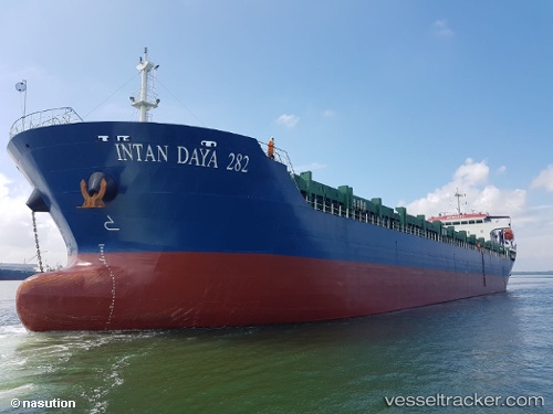
Vessel Intan Daya 282 IMO: 9813371, MMSI: 525100403 General Cargo Ship
UTC, 1.05166, 103.90743, course: -1, speed: 0
UTC, 1.05167, 103.90744, course: -1, speed: 0
2026-02-01 07:57:28 UTC, 1.05167, 103.90744, course: -1, speed: 0
Live AIS position:
UTC. Near Sekupang),
updated 2026-02-01 07:57:28 UTC.
Find the position of the vessel Intan Daya 282 on the map. The latter are known coordinates and path.
marine traffic ship tracker show on live map
The current position of vessel Intan Daya 282 is 1.05167 lat / 103.90744 lng. Updated: 2026-02-01 07:57:28 UTCDetails:
Last coordinates of the vessel:
UTC, 1.05161, 103.90739, course: -1, speed: 0UTC, 1.05166, 103.90743, course: -1, speed: 0
UTC, 1.05167, 103.90744, course: -1, speed: 0
2026-02-01 07:57:28 UTC, 1.05167, 103.90744, course: -1, speed: 0