 vesseltracker.com
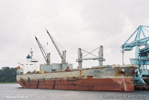
Vessel KARUNIA GEMILANG I IMO: 9249300, MMSI: 525110002 Bulk Carrier
UTC, -4.20667, 117.25500, course: -1, speed: 10
UTC, -4.52269, 117.63411, course: -1, speed: 9.6
2026-02-27 15:20:37 UTC, -4.61206, 117.77538, course: -1, speed: 10.8
Live AIS position:
UTC. 102 nm W of Makassar),
updated 2026-02-27 15:20:37 UTC.
Find the position of the vessel KARUNIA GEMILANG I on the map. The latter are known coordinates and path.
marine traffic ship tracker show on live map
The current position of vessel KARUNIA GEMILANG I is -4.61206 lat / 117.77538 lng. Updated: 2026-02-27 15:20:37 UTCCurrently sailing under the flag of Indonesia
KARUNIA GEMILANG I built in 2002 year
Deadweight:
53098 tDetails:
Last coordinates of the vessel:
UTC, -4.14667, 117.01500, course: -1, speed: 11UTC, -4.20667, 117.25500, course: -1, speed: 10
UTC, -4.52269, 117.63411, course: -1, speed: 9.6
2026-02-27 15:20:37 UTC, -4.61206, 117.77538, course: -1, speed: 10.8