 vesseltracker.com
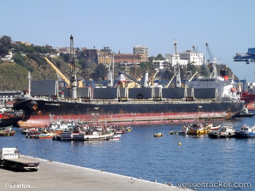
Vessel FORUM IMO: 9214850, MMSI: 525119142 Bulk Carrier
UTC, -1.14833, 117.21333, course: -1, speed: 0
UTC, -1.14833, 117.21333, course: -1, speed: 0
2026-01-28 04:14:56 UTC, -1.14775, 117.21423, course: -1, speed: 0
Live AIS position:
UTC. Near Senipah Oil Terminal),
updated 2026-01-28 04:14:56 UTC.
Find the position of the vessel FORUM on the map. The latter are known coordinates and path.
marine traffic ship tracker show on live map
The current position of vessel FORUM is -1.14775 lat / 117.21423 lng. Updated: 2026-01-28 04:14:56 UTCCurrently sailing under the flag of Indonesia
FORUM built in 2000 year
Deadweight:
46743 tDetails:
Last coordinates of the vessel:
UTC, -1.14779, 117.21438, course: -1, speed: 0UTC, -1.14833, 117.21333, course: -1, speed: 0
UTC, -1.14833, 117.21333, course: -1, speed: 0
2026-01-28 04:14:56 UTC, -1.14775, 117.21423, course: -1, speed: 0