 vesseltracker.com
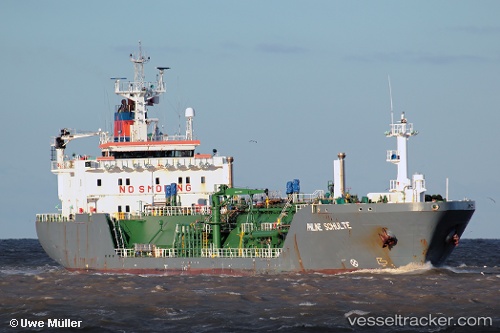
Vessel MARIANNA 28 IMO: 9183570, MMSI: 525119169 LPG Tanker
UTC, 8.05613, 117.71982, course: 82, speed: 12.8
UTC, 8.48144, 120.24837, course: -1, speed: 12.1
2026-03-04 23:23:16 UTC, 8.54980, 120.61181, course: 80, speed: 11.8
Live Vessel MARIANNA 28 Analytics (details, animations, etc.)
Live AIS position: UTC. 117 nm W of Labason/Zamboanga), updated 2026-03-04 23:23:16 UTC.Find the position of the vessel MARIANNA 28 on the map. The latter are known coordinates and path.
marine traffic ship tracker show on live map
The current position of vessel MARIANNA 28 is 8.54980 lat / 120.61181 lng. Updated: 2026-03-04 23:23:16 UTCCurrently sailing under the flag of Indonesia
MARIANNA 28 built in 1998 year
Deadweight:
7876 tDetails:
Last coordinates of the vessel:
UTC, 8.05613, 117.71982, course: 82, speed: 12.8UTC, 8.05613, 117.71982, course: 82, speed: 12.8
UTC, 8.48144, 120.24837, course: -1, speed: 12.1
2026-03-04 23:23:16 UTC, 8.54980, 120.61181, course: 80, speed: 11.8