 vesseltracker.com
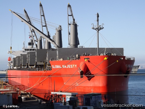
Vessel SARAH S IMO: 9644512, MMSI: 525120015 General Cargo Ship
UTC, 0.78500, 117.90333, course: -1, speed: 0
UTC, 0.78500, 117.90333, course: -1, speed: 0
2026-01-28 11:30:37 UTC, 0.78667, 117.90333, course: -1, speed: 0
Live AIS position:
UTC. Near Kaliorang),
updated 2026-01-28 11:30:37 UTC.
Find the position of the vessel SARAH S on the map. The latter are known coordinates and path.
marine traffic ship tracker show on live map
The current position of vessel SARAH S is 0.78667 lat / 117.90333 lng. Updated: 2026-01-28 11:30:37 UTCCurrently sailing under the flag of Indonesia
SARAH S built in 2012 year
Deadweight:
56052 tDetails:
Last coordinates of the vessel:
UTC, 0.78500, 117.90333, course: -1, speed: 0UTC, 0.78500, 117.90333, course: -1, speed: 0
UTC, 0.78500, 117.90333, course: -1, speed: 0
2026-01-28 11:30:37 UTC, 0.78667, 117.90333, course: -1, speed: 0