 vesseltracker.com
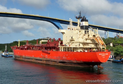
Vessel GAS NUSA IMO: 9178678, MMSI: 525121045 Lpg Tanker
UTC, 1.09431, 104.18173, course: -1, speed: 0
UTC, 1.09437, 104.18143, course: -1, speed: 0
2026-03-01 19:28:18 UTC, 1.09446, 104.18130, course: -1, speed: 0
Live AIS position:
UTC. Near KABIL),
updated 2026-03-01 19:28:18 UTC.
Find the position of the vessel GAS NUSA on the map. The latter are known coordinates and path.
marine traffic ship tracker show on live map
The current position of vessel GAS NUSA is 1.09446 lat / 104.18130 lng. Updated: 2026-03-01 19:28:18 UTCCurrently sailing under the flag of Indonesia
Details:
Last coordinates of the vessel:
UTC, 1.09433, 104.18166, course: -1, speed: 0.1UTC, 1.09431, 104.18173, course: -1, speed: 0
UTC, 1.09437, 104.18143, course: -1, speed: 0
2026-03-01 19:28:18 UTC, 1.09446, 104.18130, course: -1, speed: 0