 vesseltracker.com
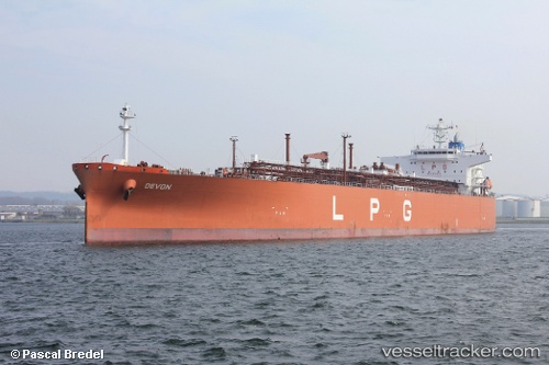
Vessel JENGGALA 21 IMO: 9454010, MMSI: 525121060 Lpg Tanker
UTC, -17.23903, -18.41125, course: 305, speed: 15.1
UTC, -17.09413, -18.62751, course: 305, speed: 15.2
2026-02-26 05:45:51 UTC, -16.78315, -19.08897, course: 305, speed: 15.1
Live AIS position:
UTC. Open sea (no nearby ports in database)),
updated 2026-02-26 05:45:51 UTC.
Find the position of the vessel JENGGALA 21 on the map. The latter are known coordinates and path.
marine traffic ship tracker show on live map
The current position of vessel JENGGALA 21 is -16.78315 lat / -19.08897 lng. Updated: 2026-02-26 05:45:51 UTCCurrently sailing under the flag of Indonesia
Details:
Last coordinates of the vessel:
UTC, -17.76687, -17.61857, course: 305, speed: 15.3UTC, -17.23903, -18.41125, course: 305, speed: 15.1
UTC, -17.09413, -18.62751, course: 305, speed: 15.2
2026-02-26 05:45:51 UTC, -16.78315, -19.08897, course: 305, speed: 15.1