 vesseltracker.com
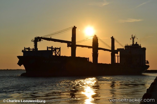
Vessel MERATUS AMPANA IMO: 9262950, MMSI: 525125033 General Cargo Ship
UTC, -6.10333, 106.88667, course: -1, speed: 0
UTC, -6.10466, 106.88796, course: 2, speed: 0
2026-02-01 17:27:13 UTC, -6.10467, 106.88797, course: 2, speed: 0
Live AIS position:
UTC. Near Jakarta),
updated 2026-02-01 17:27:13 UTC.
Find the position of the vessel MERATUS AMPANA on the map. The latter are known coordinates and path.
marine traffic ship tracker show on live map
The current position of vessel MERATUS AMPANA is -6.10467 lat / 106.88797 lng. Updated: 2026-02-01 17:27:13 UTCCurrently sailing under the flag of Indonesia
MERATUS AMPANA built in 2002 year
Deadweight:
27403 tDetails:
Last coordinates of the vessel:
UTC, -6.10333, 106.88667, course: -1, speed: 0UTC, -6.10333, 106.88667, course: -1, speed: 0
UTC, -6.10466, 106.88796, course: 2, speed: 0
2026-02-01 17:27:13 UTC, -6.10467, 106.88797, course: 2, speed: 0