 vesseltracker.com
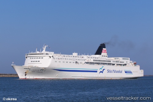
Vessel MUTIARA FERINDO 7 IMO: 9066784, MMSI: 525200925 Ro-Ro/Passenger Ship
UTC, -6.00143, 105.93907, course: -1, speed: 0.1
UTC, -6.00143, 105.93907, course: -1, speed: 0.1
2026-02-22 09:19:08 UTC, -6.00143, 105.93907, course: -1, speed: 0.1
Live AIS position:
UTC. Near Cigading),
updated 2026-02-22 09:19:08 UTC.
Find the position of the vessel MUTIARA FERINDO 7 on the map. The latter are known coordinates and path.
marine traffic ship tracker show on live map
The current position of vessel MUTIARA FERINDO 7 is -6.00143 lat / 105.93907 lng. Updated: 2026-02-22 09:19:08 UTCCurrently sailing under the flag of Indonesia
Details:
Last coordinates of the vessel:
UTC, -6.00691, 105.96346, course: -1, speed: 0UTC, -6.00143, 105.93907, course: -1, speed: 0.1
UTC, -6.00143, 105.93907, course: -1, speed: 0.1
2026-02-22 09:19:08 UTC, -6.00143, 105.93907, course: -1, speed: 0.1