 vesseltracker.com
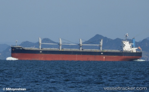
Vessel QUEEN ALIYAH IMO: 9420291, MMSI: 525701044 Bulk Carrier
UTC, -3.85167, 121.22167, course: -1, speed: 0
UTC, -3.85167, 121.22167, course: -1, speed: 0
2026-03-03 00:09:14 UTC, -3.84833, 121.21833, course: -1, speed: 0
Live AIS position:
UTC. 24 nm NW of Kolaka),
updated 2026-03-03 00:09:14 UTC.
Find the position of the vessel QUEEN ALIYAH on the map. The latter are known coordinates and path.
marine traffic ship tracker show on live map
The current position of vessel QUEEN ALIYAH is -3.84833 lat / 121.21833 lng. Updated: 2026-03-03 00:09:14 UTCCurrently sailing under the flag of Indonesia
Details:
Last coordinates of the vessel:
UTC, -3.84833, 121.22333, course: -1, speed: 0UTC, -3.85167, 121.22167, course: -1, speed: 0
UTC, -3.85167, 121.22167, course: -1, speed: 0
2026-03-03 00:09:14 UTC, -3.84833, 121.21833, course: -1, speed: 0