 vesseltracker.com
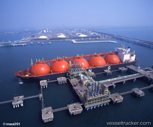
Vessel LADY EVA IMO: 9165011, MMSI: 525701066 Tanker B
UTC, -8.89099, 116.73889, course: 313, speed: 0
UTC, -8.89102, 116.73889, course: 313, speed: 0
2026-02-23 19:19:24 UTC, -8.89098, 116.73888, course: 313, speed: 0
Live AIS position:
UTC. Near BENETE),
updated 2026-02-23 19:19:24 UTC.
Find the position of the vessel LADY EVA on the map. The latter are known coordinates and path.
marine traffic ship tracker show on live map
The current position of vessel LADY EVA is -8.89098 lat / 116.73888 lng. Updated: 2026-02-23 19:19:24 UTCCurrently sailing under the flag of Indonesia
Details:
Last coordinates of the vessel:
UTC, -8.89103, 116.73891, course: 313, speed: 0UTC, -8.89099, 116.73889, course: 313, speed: 0
UTC, -8.89102, 116.73889, course: 313, speed: 0
2026-02-23 19:19:24 UTC, -8.89098, 116.73888, course: 313, speed: 0