 vesseltracker.com
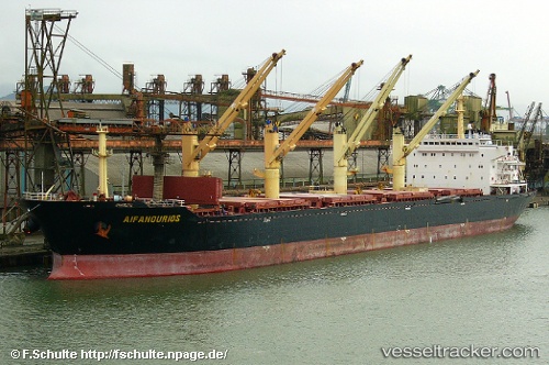
Vessel MANALAGI ENZI IMO: 9217929, MMSI: 525800691
UTC, -3.70640, 114.48208, course: 215, speed: 0
UTC, -3.70637, 114.48202, course: 212, speed: 0
2026-02-05 12:20:06 UTC, -3.70701, 114.48244, course: 242, speed: 0
Live AIS position:
UTC. Near Taboneo),
updated 2026-02-05 12:20:06 UTC.
Find the position of the vessel MANALAGI ENZI on the map. The latter are known coordinates and path.
marine traffic ship tracker show on live map
The current position of vessel MANALAGI ENZI is -3.70701 lat / 114.48244 lng. Updated: 2026-02-05 12:20:06 UTCDetails:
Last coordinates of the vessel:
UTC, -3.70650, 114.48201, course: 218, speed: 0UTC, -3.70640, 114.48208, course: 215, speed: 0
UTC, -3.70637, 114.48202, course: 212, speed: 0
2026-02-05 12:20:06 UTC, -3.70701, 114.48244, course: 242, speed: 0