 vesseltracker.com
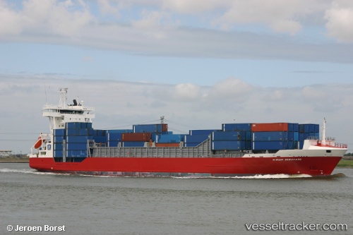
Vessel HARBOUR GALAXY IMO: 9242601, MMSI: 533170614 Container Ship
UTC, 17.12875, 115.01009, course: 173, speed: 15.4
UTC, 16.55957, 115.10677, course: 173, speed: 14.5
2026-03-01 01:29:24 UTC, 16.17680, 115.15058, course: 177, speed: 14.7
Live AIS position:
UTC. 273 nm W of Bolinao),
updated 2026-03-01 01:29:24 UTC.
Find the position of the vessel HARBOUR GALAXY on the map. The latter are known coordinates and path.
marine traffic ship tracker show on live map
The current position of vessel HARBOUR GALAXY is 16.17680 lat / 115.15058 lng. Updated: 2026-03-01 01:29:24 UTCCurrently sailing under the flag of Malaysia
HARBOUR GALAXY built in 2002 year
Deadweight:
7977 tDetails:
Last coordinates of the vessel:
UTC, 17.83725, 114.88422, course: 171, speed: 15.8UTC, 17.12875, 115.01009, course: 173, speed: 15.4
UTC, 16.55957, 115.10677, course: 173, speed: 14.5
2026-03-01 01:29:24 UTC, 16.17680, 115.15058, course: 177, speed: 14.7