 vesseltracker.com
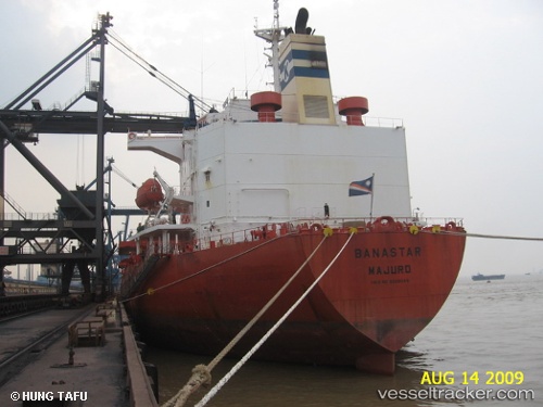
Vessel Banastar IMO: 9228045, MMSI: 538002402 Bulk Oil Carrier
UTC, 25.24935, 55.26441, course: -1, speed: 0
UTC, 25.55380, 56.21575, course: -1, speed: 19.7
2026-03-21 16:31:39 UTC, 25.28063, 55.29021, course: -1, speed: 0.1
Live Vessel Banastar Analytics (details, animations, etc.)
Live AIS position: UTC. Near Mina Rashid Port), updated 2026-03-21 16:31:39 UTC.Find the position of the vessel Banastar on the map. The latter are known coordinates and path.
marine traffic ship tracker show on live map
The current position of vessel Banastar is 25.28063 lat / 55.29021 lng. Updated: 2026-03-21 16:31:39 UTCDetails:
Last coordinates of the vessel:
UTC, 25.24935, 55.26441, course: -1, speed: 0UTC, 25.24935, 55.26441, course: -1, speed: 0
UTC, 25.55380, 56.21575, course: -1, speed: 19.7
2026-03-21 16:31:39 UTC, 25.28063, 55.29021, course: -1, speed: 0.1